List of Layers
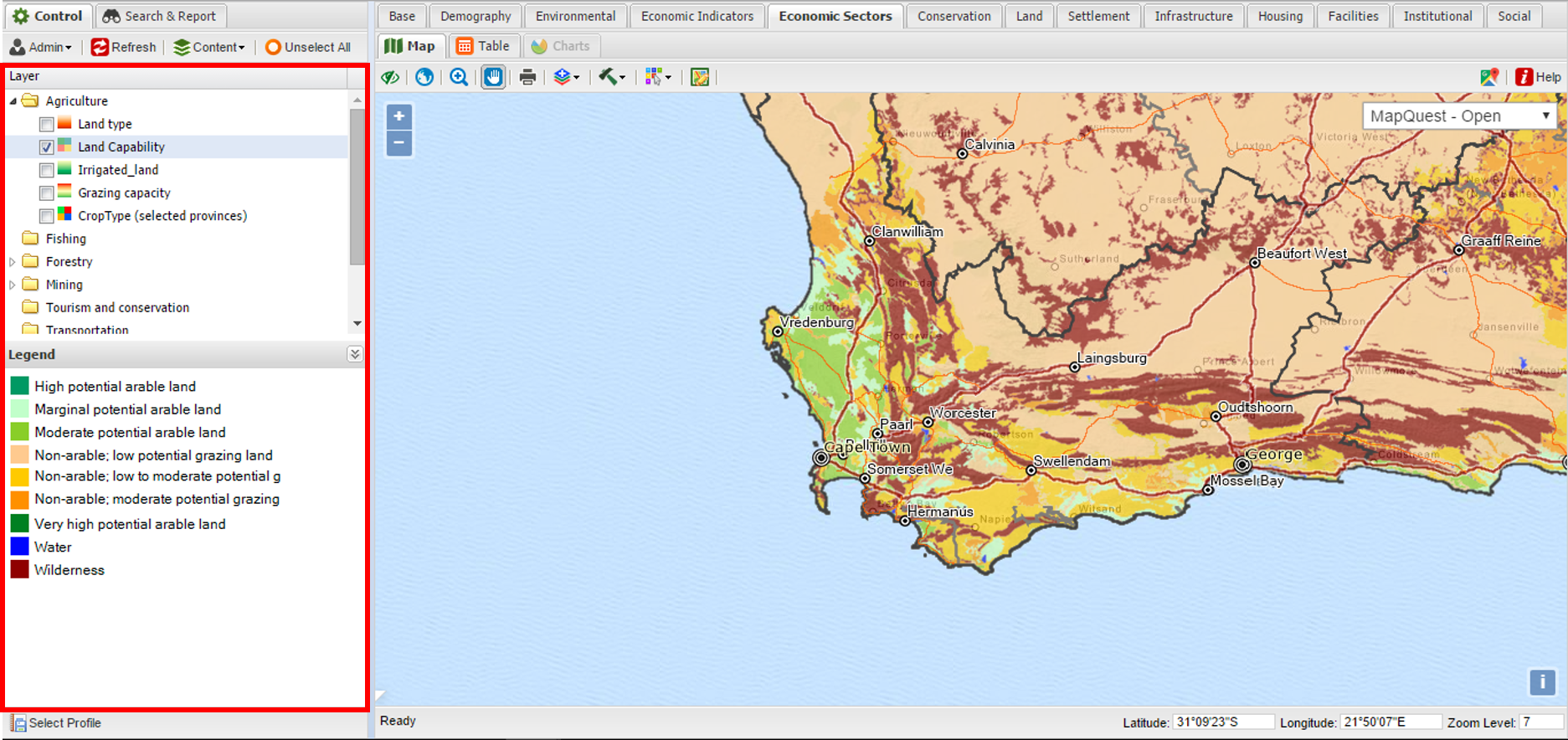
The list of layers shows all the GIS layers that are opened in the workspace. Note that this list does not represent all the available layers that resides in the spatial database. These are the ones opened from the spatial database by means of the Adding Datalayers function.
|
|
For a more detailed description on adding layers and moving and re-ordering them in the list of layers, please go to the Content section
|

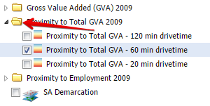
The list of layers also include Folders in which the layers can be put. For more information on adding and managing folders, please go to the Folders section. The Folders can be minimised or maximised by clicking the folder icons in the list of layers:

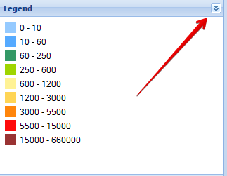
The legend file is automatically created and is displayed below the list of layers. The user can also choose if the legend should be visible or hidden. The Legend can be opened or closed by the button on the right top corner of the legend box.
