
Background Maps
MapAble® offer the user a range of web map services which can be used as base maps for any workspace. Depending on the data overlays the user uses, different background maps will suit different causes.
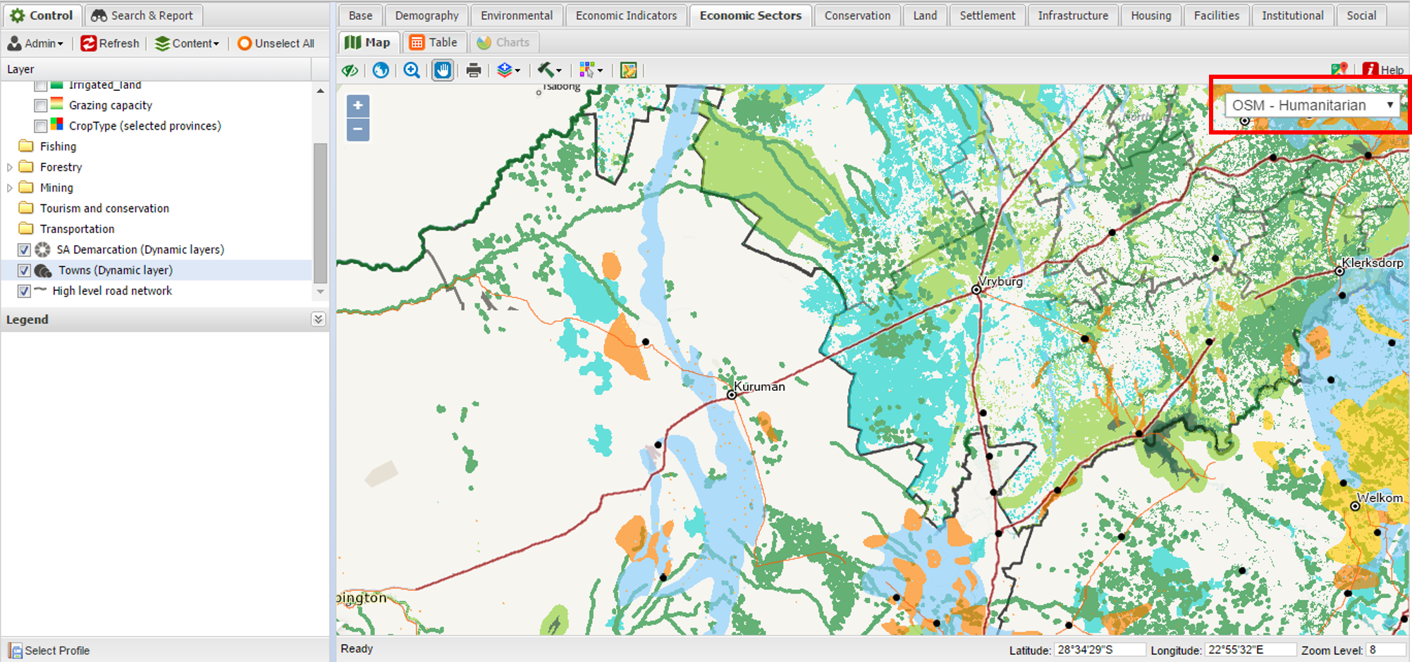
The Background Maps dropdown list is located on the top right corner of the map area.
The following background map services are available in MapAble®:
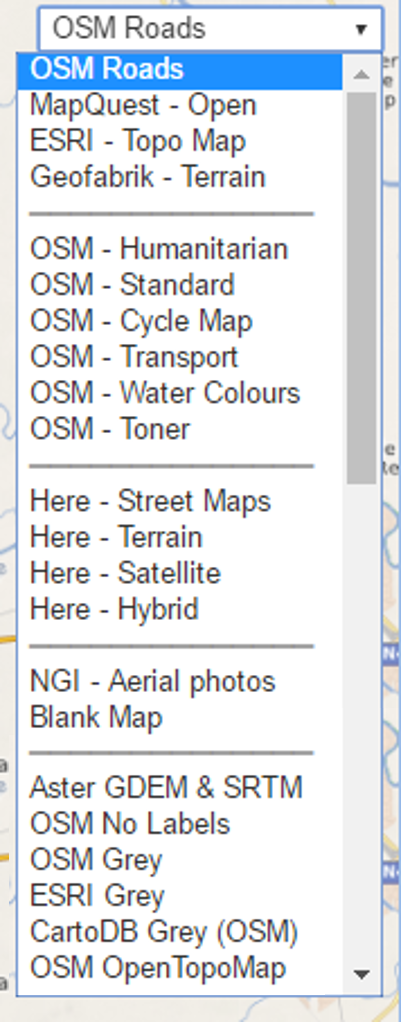 |
Open Street Map - Roads
MapQuest - Open - Standard
ESRI - Topographic map
Geofabrik - Terrain
Open Street Map - Humanitarian
Open Street Map - Standard
Open Street Map - Cycle Map with contours
Open Street Map - Transport with some public transport routes and rail
Open Street Map - Water Colours just for fun!!!
Open Street Map - Toner B/W simplified map
Here - Street Maps
Here - Terrain maps
Here - Satellite imagery
Here - Hybrid of street maps and satellite imagery
National Geo-Information (South Africa) Imagery
Blank Map - if no background map is preferred
Aster GDEM & SRTM - Hillshade
Open Street Map - with no lables
Open Street Map - in Grey scale
ESRI - in Grey scale
CartoDB - Open Street Map in Grey scale
Open Street Map - Topographic map - Hillshade
|
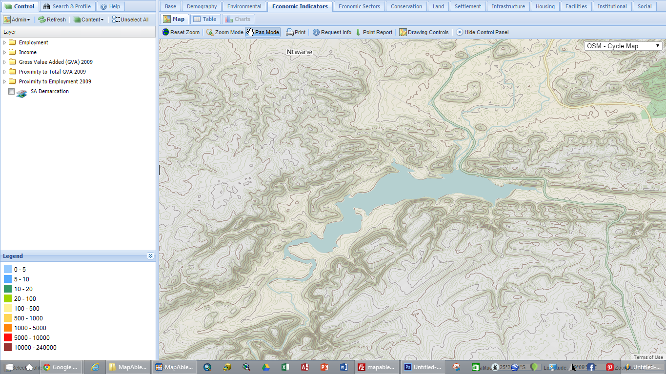
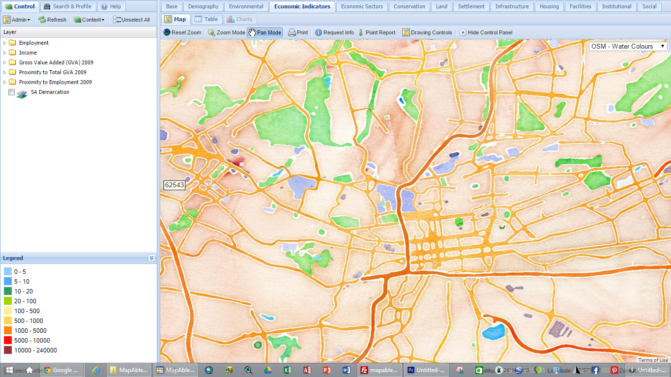
The following are some examples of how they look like:
|
Open Street Map - CycleMap
|
Open Street Map - Water Colours
|
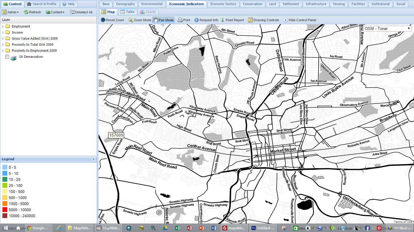
Open Street Map - Toner
|
 |
 |
 |
|
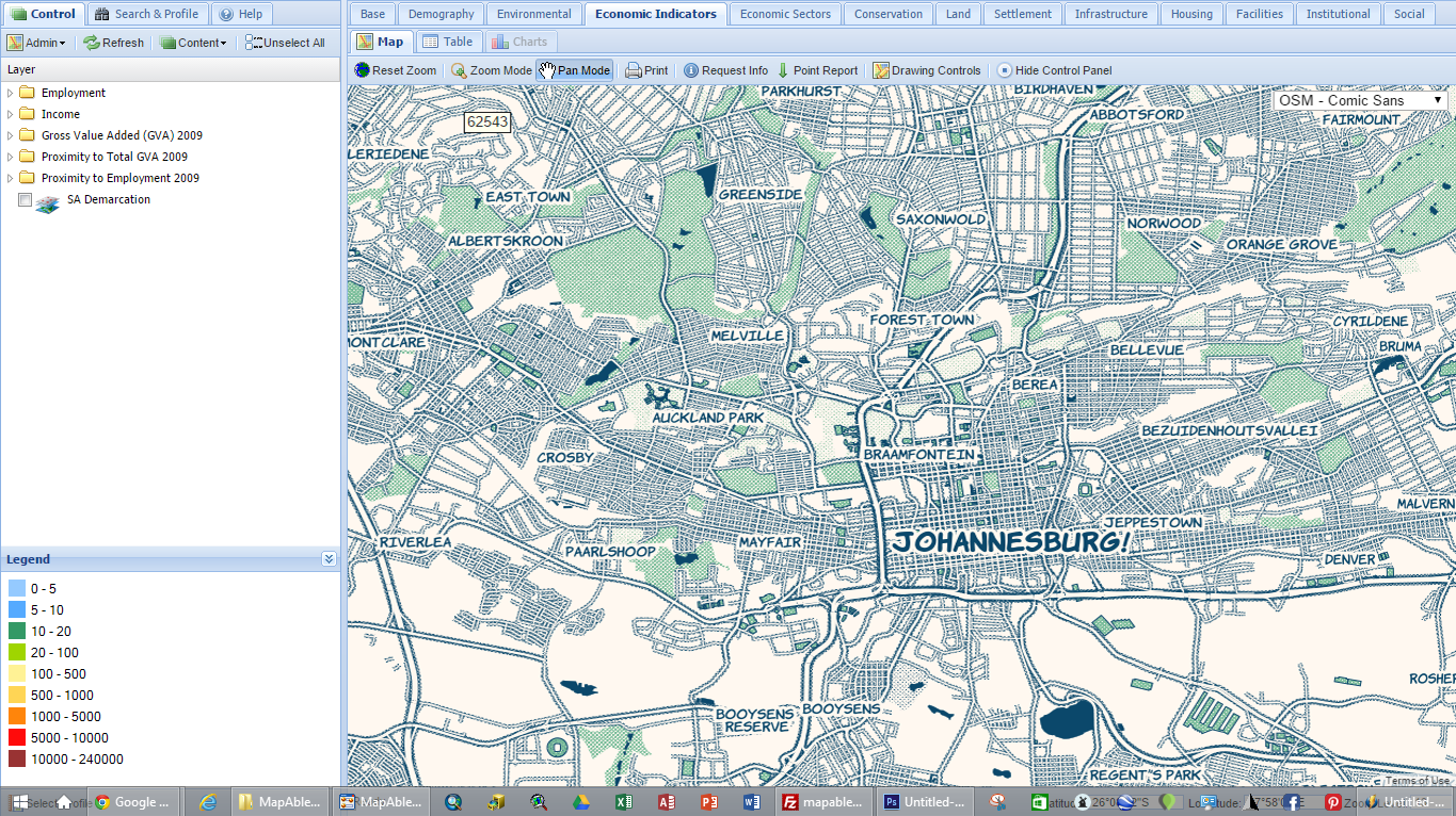
Open Street Map - Comic Sans
|
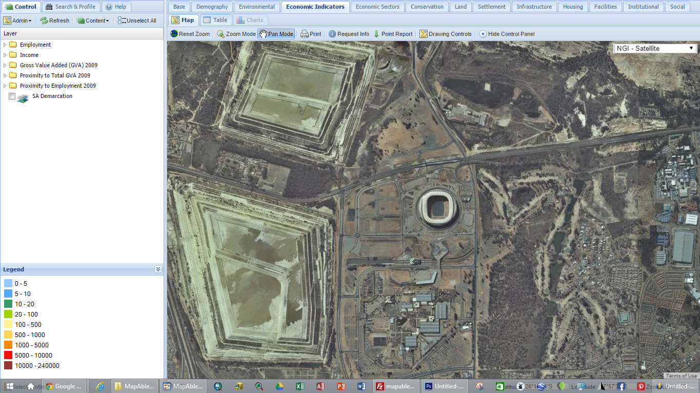
National Geo-Information (South Africa) Imagery
|
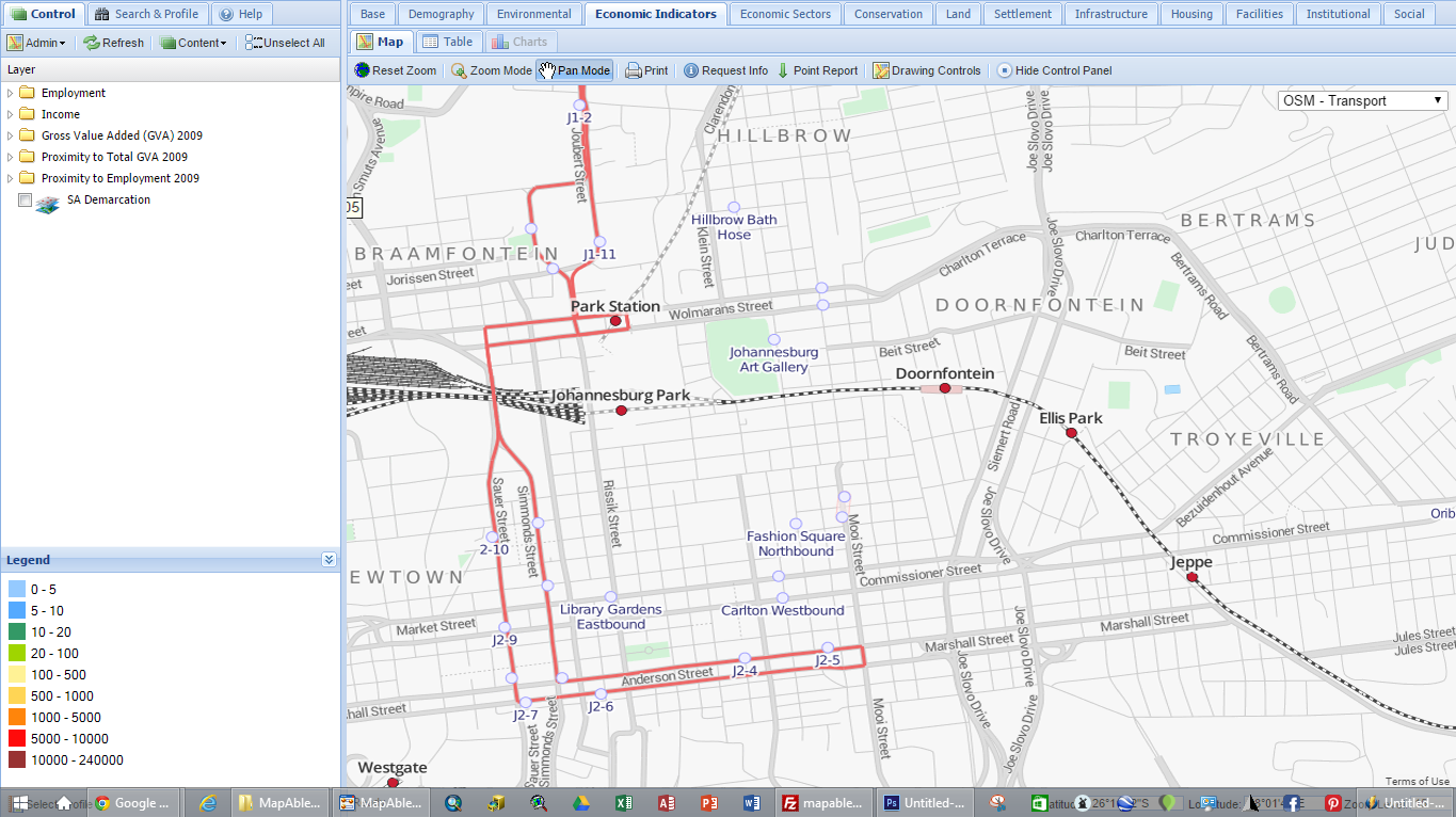
Open Street Map -Transport
|
 |
 |
 |