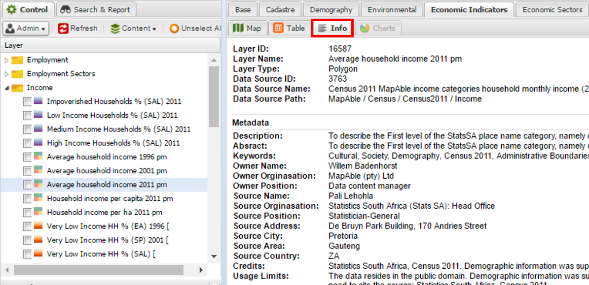
Info mode
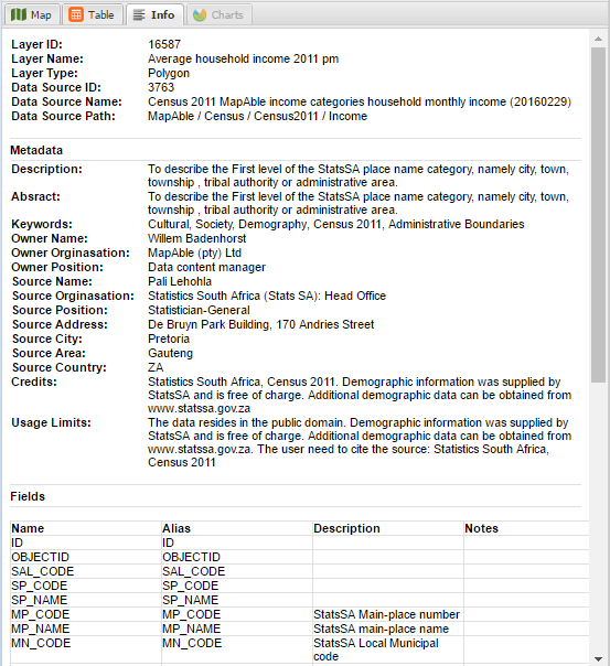
The Info mode contains all the metadata related to the layer that is selected. Metadata® of a layer can be edited by using MapAble Loader. Metadata is data that describes other data. Meta is a prefix that in most information technology usages means "an underlying definition or description." Metadata summarizes basic information about data, which can make finding and working with particular instances of data easier. For example, author, date created and date modified and file size are examples of very basic document metadata. Having the ability to filter through that metadata makes it much easier for someone to locate a specific document.
The section below describes what information is contained in the Info mode:
MapAble
®Info mode
To access the Info mode page of a layer click on the Info mode item above the view pane:
Once the Info Tab is selected the metadata related to the layer is displayed. Of the fields, the most important of the fields are the following:
-
Layer Name,
-
Summary,
-
Keywords,
-
Metadata Author,
-
Custodian Organisation,
-
Credits, and
-
Usage limit etc.
The fields tab lets the user describe the fields in the attribute table of each layer. This is very important when other team members need to understand the information they work with and what each field means.
-
Alias - Since the field descriptions of GIS files are normally limited in size, they are not very descriptive.
-
Description - offers the user a space to give a more detailed description of the field.