
Attribute Info Box
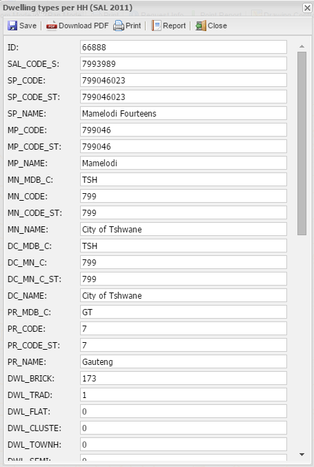
An Info Box is a screen which opens when the user clicks on a spatial entity on the map and displays the attributes as contained in the attribute table of the layer.
When the user clicked on the map of a selected layer, the info box will opens:
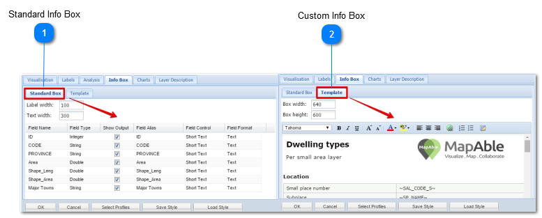
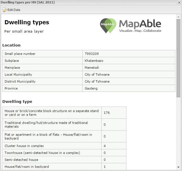
The user can view the attributes in an automatically generated Info Box or create a custom Info Box in MSWord® or MSExcel®:
The automatically generated info box on the left is default for every imported layer. The following section will explain how to set up and customise the attribute info box.
Standard Info Box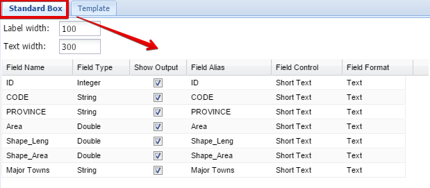 The Standard Info Box is Automatically created by MapAble. Please go to the Standard Info Box section for a more detailed description
|
Custom Info Box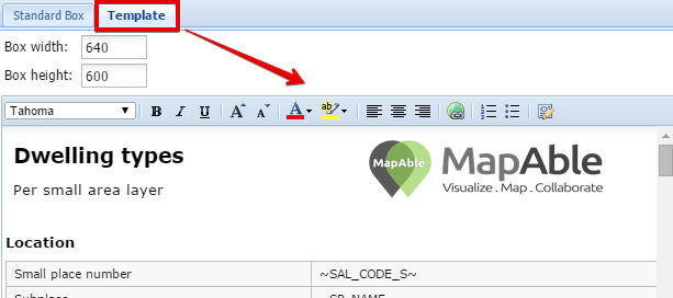 Another way to display attribute data is via a Custom Info Box Template. This is normally a much nicer looking report and can be customised for each layer. Please go to the Custom Info Box section for more info.
|