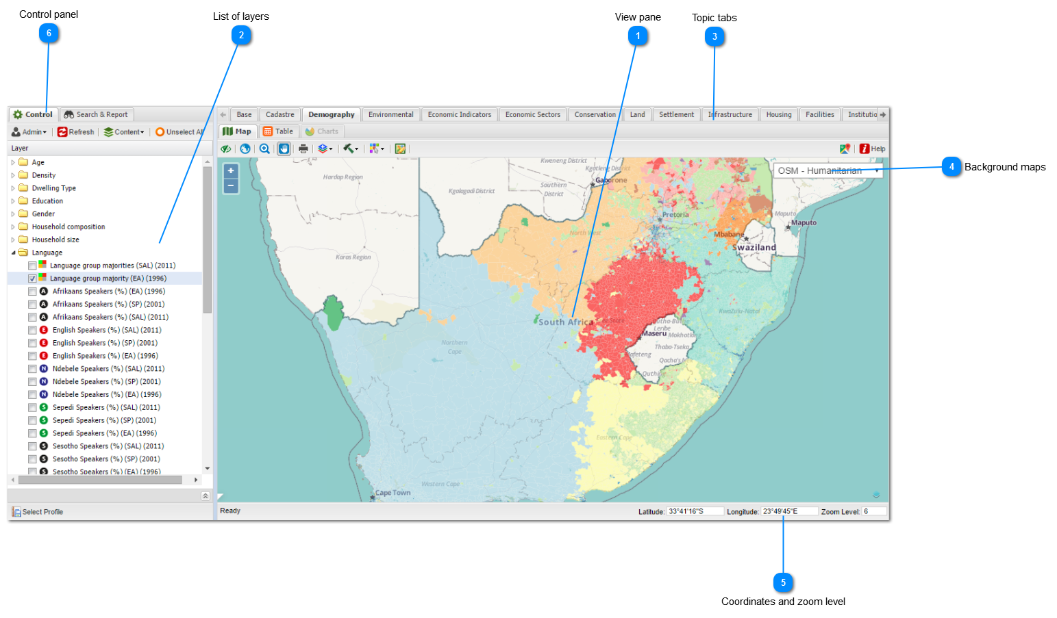
Main window

|
The view pane is the display area of the maps, tables and charts associated with the layers in your workspace. Click here for more information.
|
|
Topic tabs are designed to help the user group data layers in related topics. Click here for more information.
|
|
The user have a range of background maps to choose from. Click here for more information.
|
|
The coordinates and zoom level are displayed at the bottom right of the screen. Click here for more information.
|
 Users with administrative rights can customize the maps and various other functions from here. Click here for more information
|