
Downloading your data
Users can download their own data in Shapefile format directly out of their MapAble workspace. Before the user can download their own data, the desired layer must be selected. When the user wants to download their own data/layer, the user can simply the download button in the Table Mode. The following section explains how to download data from MapAble:
|
|
Please note:
|
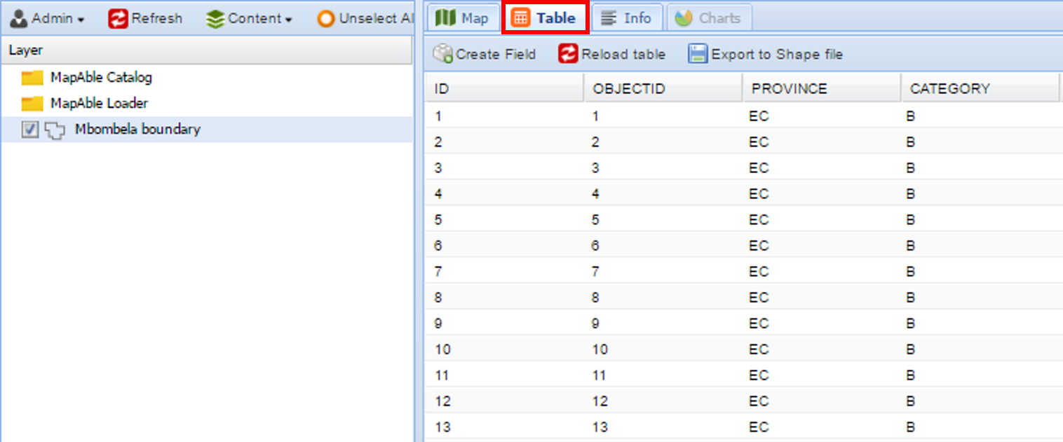
After highlighting the appropriate layer in the List of Layers, go to the Table mode to display the attribute table of the layer.
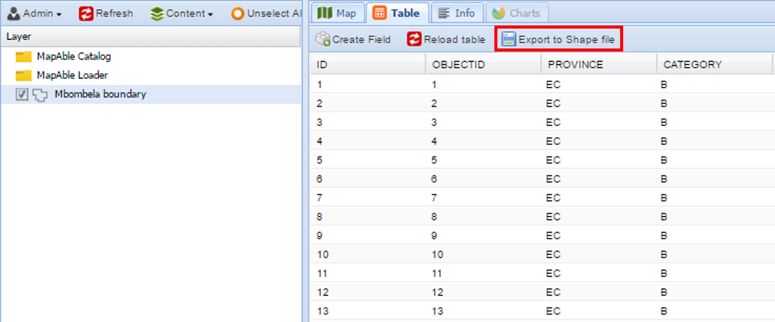
Click on the 'Export to Shape file' item above the layer's table:
The Shapefile of the selected layer will be downloaded to your default download folder.
|
|
Please note:
|
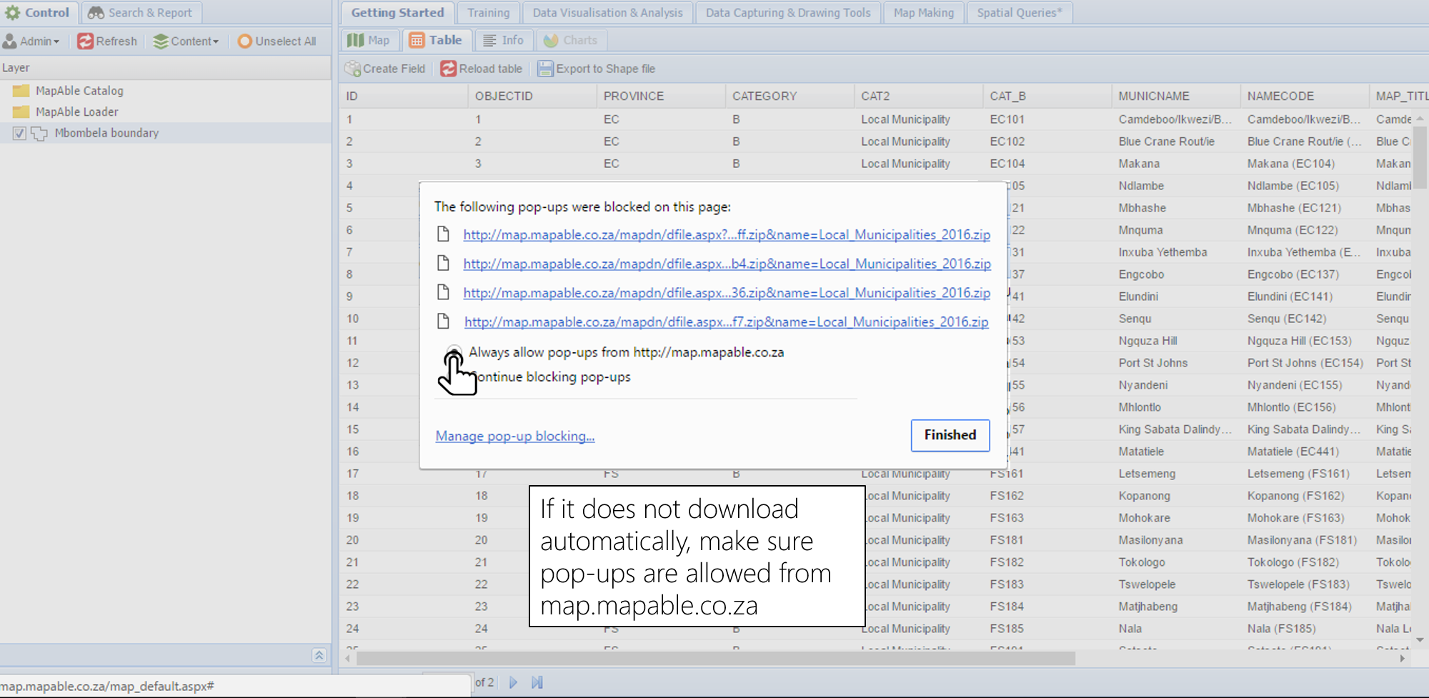
The Shapefile (which includes all the files that comprises a Shapefile) will be downloaded in a Zip folder and can be outside of MapAble in GIS programs or alternatively brought back into MapAble utilising MapAble loader or directly importing the file into your workspace via the spatial database.