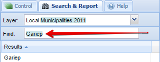
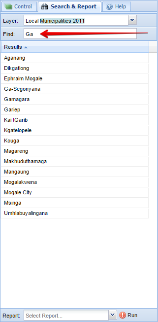
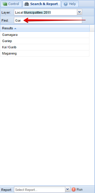
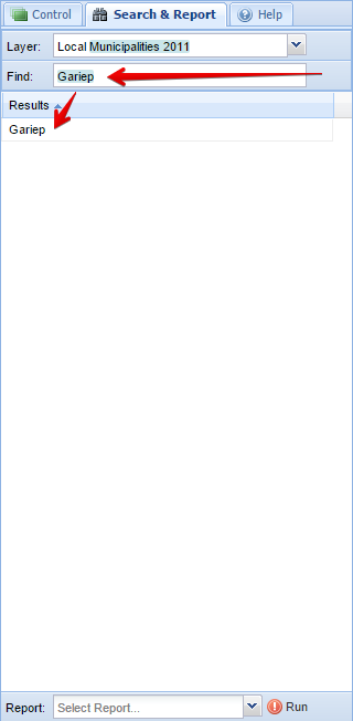
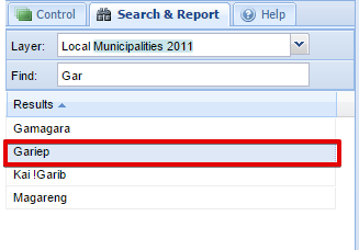
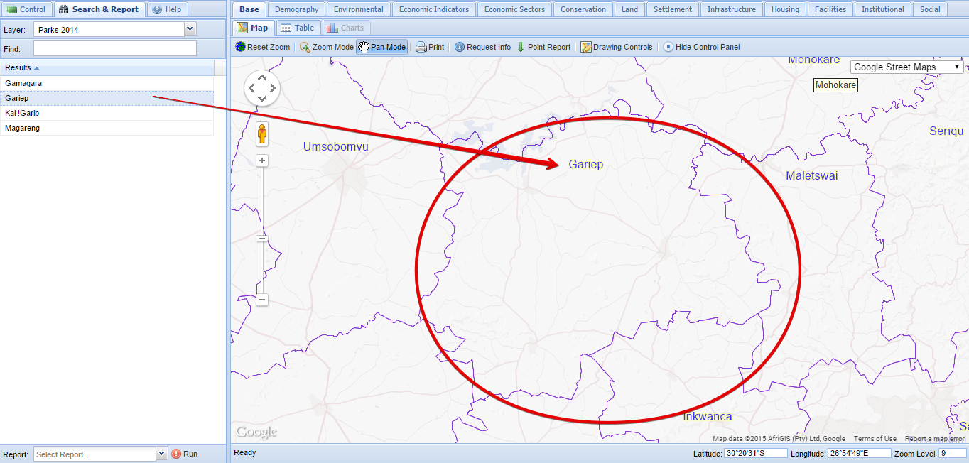
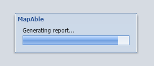
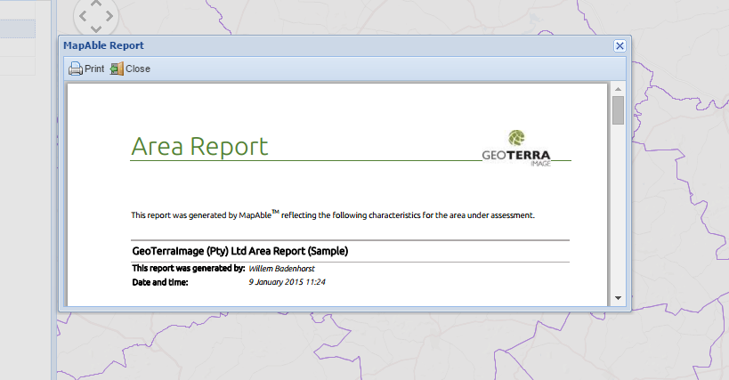
×
Menu

Search and Report

Search and Report
 
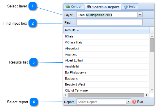
The Search and Report menu bar are designed to easily search for spatial entities in datalayers (e.g. Towns, Municipalities) and zoom to it.  The user can then also run a report on the area if needed.  It can thus be used as either a navigation tool or a study area selection tool for reports.
1

Select layer

1. Select layerAll layers that were set up to searchable (see Data Visualisation section) are listed in the Layer dropdown box.  The user selects the appropriate layer, and all the attributes of the layer will be displayed in the results list
2

Find input box

2. Find input box
The next step is for the user to either click on the desired name in the results list or start typing in the name in the find input box. 
 
 
3

Results list

3. Results list
 
As the user type in more letters of the search string, the results will automatically be updated and show less results until the user can see the correct entity.


Once the user can identify the correct entity in the list, it can be selected and the background will turn to blue.  A study area has now being selected:
 
 
MapAble will now automatically zoom the the selected area.
 
4

Select report

4. Select report
From a selected study area, the user can run a Report by selecting an appropriate Report in the report list:
 
 
For a more detailed description on Spatial Reports, please go to the Spatial Reports section
 
 
Once the report selection was done, the user can click on the RUN button:
 
 
And the report will be generated on the boundaries of the selected study area:
 
 
The report will be generated and displayed on the screen.


For a more detailed description on Spatial Reports, please go to the Spatial Reports section