
Spatial Analysis and Queries
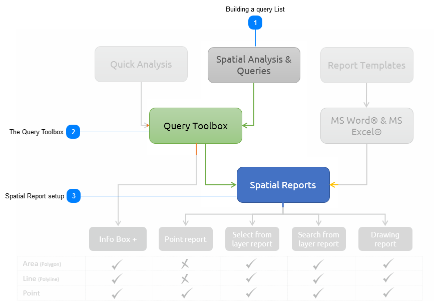
The Spatial Analysis and Queries functions let the user create a Query List with a range of analytical procedures or queries. All the queries in the list, form the base inputs to a report that can be run from any similar type of spatial feature (e.g. polygon. line or point). An example may be a Demographic Profile of an area which executes a range of queries to describe the demographic characteristics from the various available layers.
|
|
Every Spatial Query has two pillars on which it stands, the first one is the Query List and the second one is the Template to publish the query results. In this section, we will discuss how to set up the Query List.
|
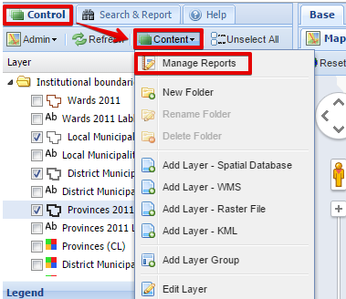
Building a query List To access the Spatial Analysis and Query tools, the user need to go to the Control Panel and click on the Content Tab. In the dropdown list, the Manage Reports button will be listed:
 The Select Report dialog box will open:
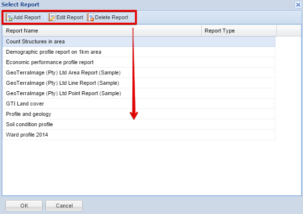 The user can either add, edit or delete a report from here. When the user select to Add or Edit a report, the Edit Report Dialog Box will appear:
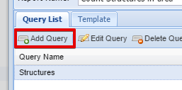
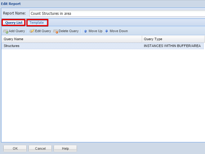 From here, the user can add as many queries to the Query List as he wants. From the Query List dialog box, the user can now Add a Query:
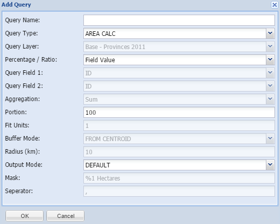
 The Query Toolbox will now open.
|
The Query Toolbox When the user add or edit a query, the standard Query Toolbox will open:
| ||
Spatial Report setup For any Spatial Report to be finalised, a template needs to be prepared. The first method is to create an Automatically Created Template:
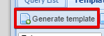
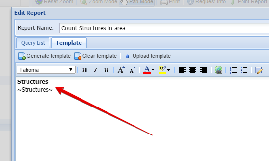
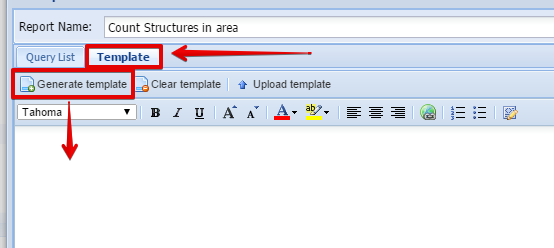 The user can click on the Generate Template button to let MapAble automatically create a template based on the already prepared query list.
 MapAble will create a very simple template based on all the queries related to the specific spatial report:
 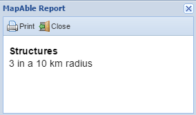 At this stage the whole process to create a spatial report is complete. But in order to have a custom query report with comments and logos etc, the user can create a template in external software and import the files into MapAble.
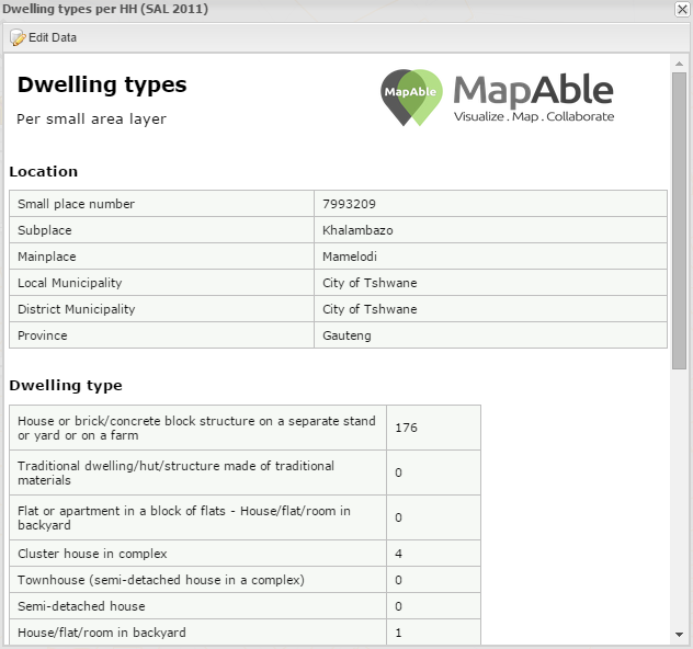
Example of a report from a Custom Template
 | ||